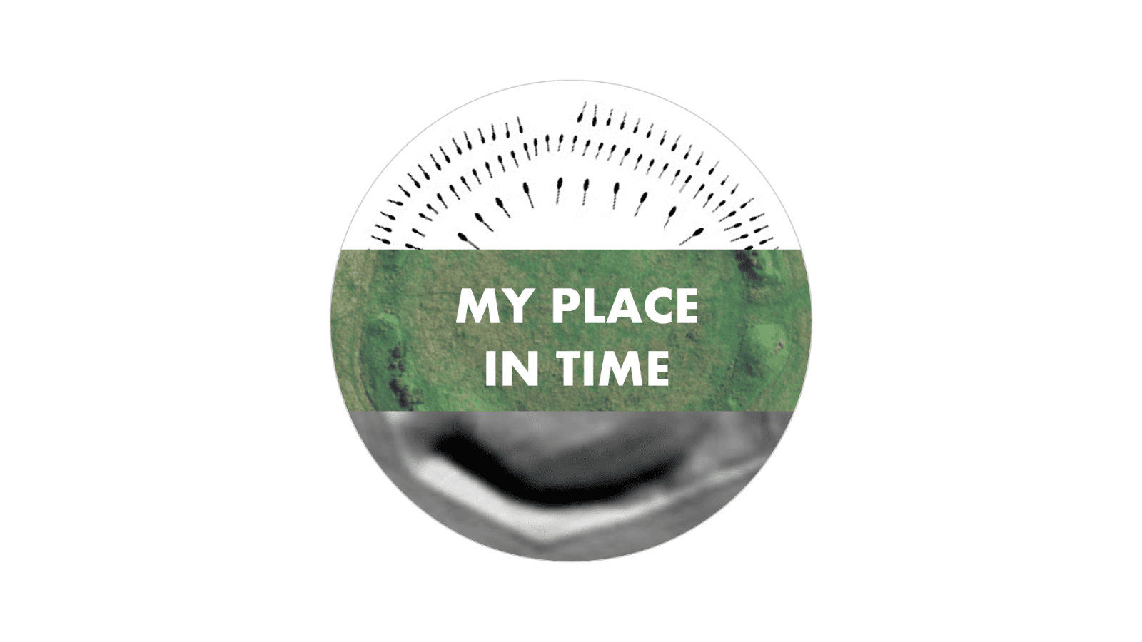
My Place in Time
This page was been created for YAC in collaboration with SharedPast. It hosts all the information and resources for our collaborative project ‘My Place in Time’.
The page has been separated into three sections:
- Overview of the project
- Training and support for YAC Leaders
- Project resources
Overview
Introducing ‘My Place in Time’
‘My Place in Time’ is a project developed by SharedPast. The project focusses on introducing non-invasive archaeology techniques using online resources, such as old maps, aerial photographs, and LiDAR to young people, which can then be utilised to explore a local place or space which has some meaning to them.
Who are the SharedPast Team?
SharedPast was a group of heritage specialists and volunteers who got together to share their expertise with other volunteers, community archaeology groups and charitable trusts during Covid 19. The team was led by Stewart Ainsworth, landscape archaeologist with the Royal Commission on the Historical Monuments of England, English Heritage, and broadcaster on Channel Four’s Time Team for many years. It also included our very own Penny Lock, YAC Branch Co-Leader at RAF Midlands YAC.
What is the project about?
The project was a collaboration between SharedPast, Council for British Archaeology (CBA) and Young Archaeologists Club (YAC). The project had three main aims.
- To provide an online archaeological project for YAC members which also includes an outdoors element.
- To encourage YAC members to investigate a place that has meaning for them. Who else might have shared that place in the past and how do we find out?
- To help YAC leaders learn in tandem with their members, building up a skills base for future projects and activities
The project uses the analogy of how members can learn to be a Landscape Detective, looking for clues to find out something about the past history of the place they have chosen. During the course of the project we will be asking those taking part to send us a Postcard from the Past to show us what they have found about their chosen place, and these will be displayed in a virtual online gallery.
How is the project structured?
The project comprises four progressive phases of training and support (Steps) for YAC Group Leaders and YAC members. YAC Group Leaders have access to resources for each Step and a recording of each training workshop (see below). To avoid this project seeming like ‘extra homework’ in a period when children may have been spending a lot of time undertaking online schoolwork, we have designed the Steps to be more of a process of exploring for evidence rather than answering questions to a timetable. As a result it is anticipated that it will not be necessary to use all the online sources, and that YAC Group Leaders can apply their own initiative and tailor the task to their members. For example it may be deemed appropriate to use a single place for all members of one group, or that different area groups might want to form partnerships if a similar theme emerges e.g. WW1, parks etc. There is no need or desire to impose a research structure – the investigation can vary from an individual’s chosen place to collective or team approach as needed.
At a stage when YAC Group Leaders feel it is appropriate, visits to a place may be organised for members either as a group or members encouraged to visit with parents, guardians etc. (Step Outside). This activity could take place at any stage during the life of the project or afterwards.
Training and Support for YAC Leaders
The project launched to YAC members at the 2021 CBA Festival of Archaeology. SharedPast ran four online Step tutorial sessions (Steps 1-4) for YAC Group Leaders between April and November 2021, showing YAC Group Leaders how to access and use online resources to identify information which tell us how places, which have meaning to us, have changed through time.
Please note: all sessions were recorded and are available below.
Step 1 Workshop: Find your place
The first of these workshops ‒ Step 1: Find your place –served as an introduction to the overall project, as well as the online resources. This first Step provides the foundation to the others, which will gradually introduce slightly more advanced techniques. As well as presentations, the first session covered how to find and access the online resources, and guided leaders through some techniques that can be used to find and record information about their identified places. Following the session a ‘Tale of Two Castles’ practice exercise was made available to provide an opportunity for YAC Group Leaders both to explore how to use some of the resources and tips, and hopefully also prompt feedback prior to the launch of the project in July (see ‘Project Resources’ below). A Digital Resource Pack providing more information is also available in the Resource section to accompany each of the four Steps. By the end of the session, YAC Group Leaders gained an understanding of how to engage their groups with the landscape and heritage around them without having to dig, how the four progressive stages of the training fit into this process, and how to access and use the online resources which can help that journey of discovery of places that matter to us.Step 2 Workshop: How do we find out about old buildings or archaeological sites?
The second workshop builds on Step 1 and shows where and how to get hold of publicly available, online heritage information about a place and its surroundings. The workshop demonstrates the basics, i.e. where to look and how to search since, with the wealth of online information available, it is very easy to become overloaded with data. Sources for England, Scotland, Northern Ireland, Wales, Isle of Man, Jersey and Guernsey are covered. The workshop concentrates on buildings, archaeological sites and finds as these provide an excellent initial overview of a location and its environs.Step 3 Workshop: Delve a little deeper
The third workshop ‒ Step 3 – builds on Step 2 and explores some other helpful online resources which are not obviously ‘history and archaeology’ but might help us understand more about the environment of places. The workshop will aim to increase the awareness of other sources of information that might help YAC leaders find out more about a place, for example use of ‘non-archaeological’ resources, such as photographs, geology, and environment.Step 4 Workshop: Clever techy stuff (LiDAR)
The fourth workshop ‒ Step 4 – takes us into the new and exciting world of LiDAR (an acronym for Light Detection and Ranging). This is a resource that is being used more and more by archaeologists around the world. Much of the UK has been scanned using lasers in aircraft. The data from these scans (LiDAR) can be used to discover unrecorded archaeological sites. This workshop will gently introduce you to this new and exciting resource. This Step will include an introduction to how LiDAR works, show you where how to view some resources that are easily accessible to view online, and also where data itself can be found for those who want to explore LiDAR further.Project Resources
Overview
Step 1 – Find your place
- Step 1 – Digital Resource Pack
- Step 1 – Challenge: A tale of two castles
- Step 1 – Workshop Recording
Step 2: How do we find out about old buildings or archaeological sites?
- Step 2 – Presentation slides
- Step 2 – Workshop recording (overview, case study and ‘live’ demo)
- Step 2 – SharedPast Training Videos
Step 3: Delve a little deeper
Step 4: Clever techy stuff (LiDAR)